Free
$0
forever, for learning and personal work
- 15 previews a week
- Sites up to 500 m radius
- Geometry-only exports
- Every export format
- Nothing to install
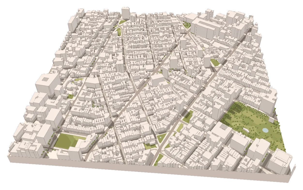
Type an address and get the neighbourhood as a clean 3D model or a plan drawing: buildings with heights, roads, water, green and terrain, ready for Rhino, Revit, Illustrator and AutoCAD.
Free to try, no account for the preview. First result under 2 min.
Made for architects
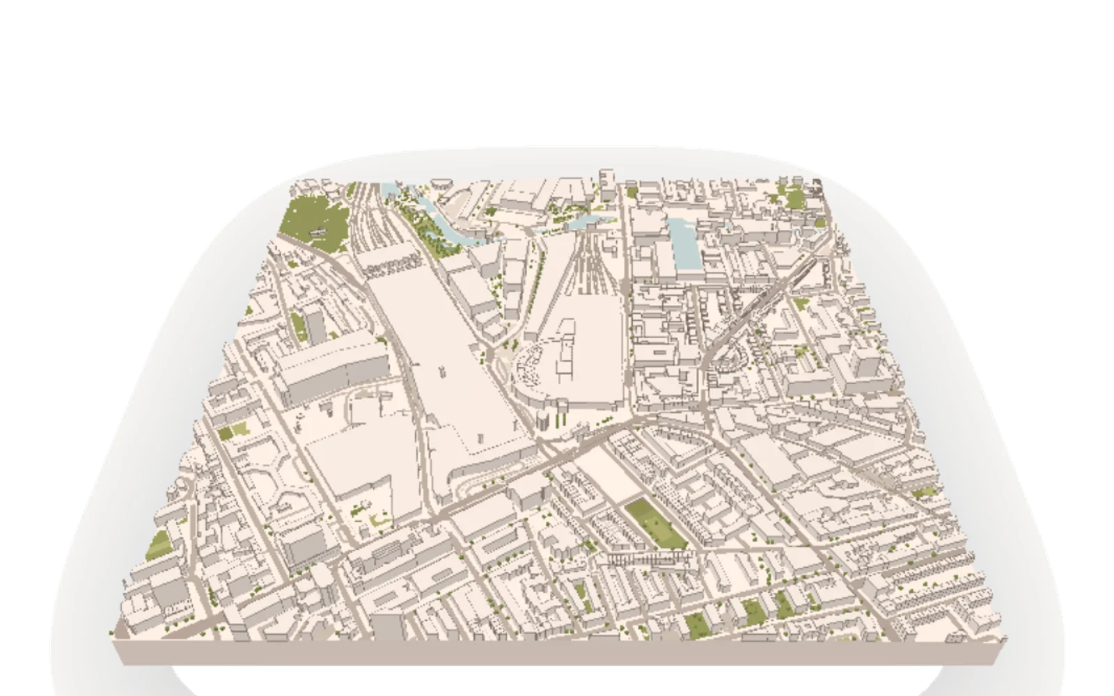
Context for massing, shadow, wind and daylight studies.
Heights on every building
Recorded where mapped, estimated and labelled where not.
Anywhere in the world
Open map data: OpenStreetMap and Overture, credited in the file.
Built in your browser
Nothing to install, nothing uploaded. Bakes straight into Rhino.
2D plans
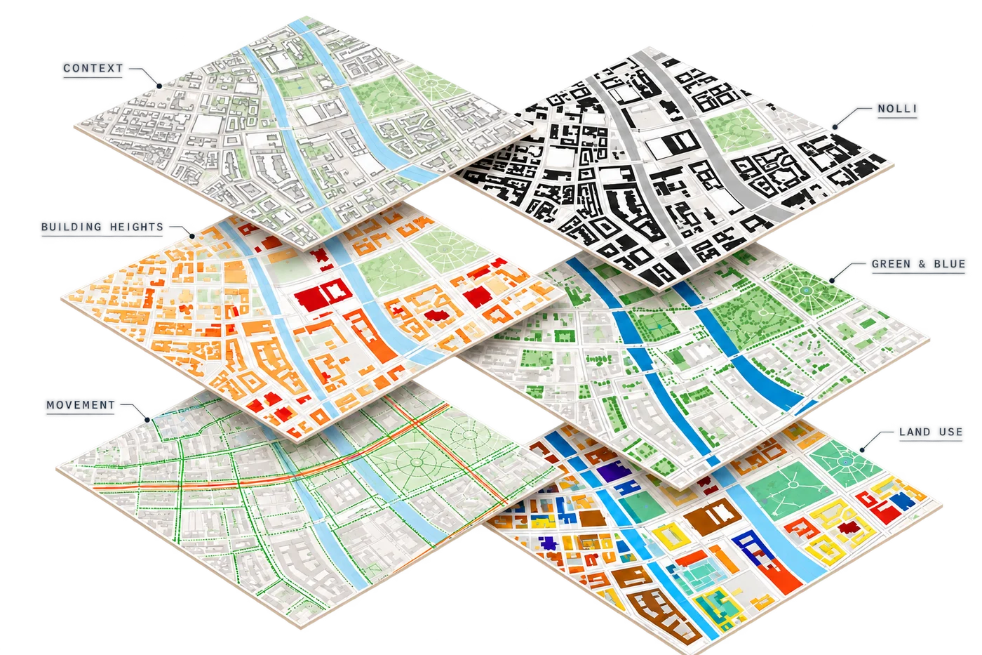
A plan style is not a look: each one shows different information. Nolli shows the public interiors, Heights the massing, Green & blue the open space, Movement the street network, Land use the programme, and Context the whole picture.
Choose the area, pick the reading you need, add shadows if you want them, and export a layered SVG or DXF for Illustrator and AutoCAD, or a print-ready PDF sheet with scale bar and north arrow.
Thirteen plan types
Each with true line weights and fills
Editable exports
Layered SVG and DXF
Print-ready sheets
PDF at scale with legend and north
Open a site
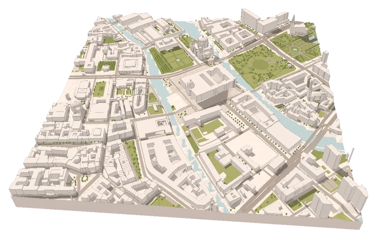
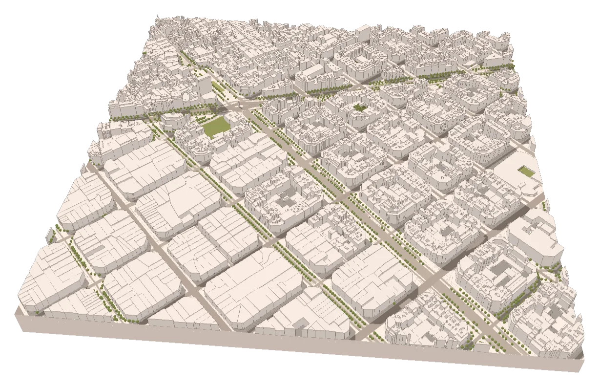
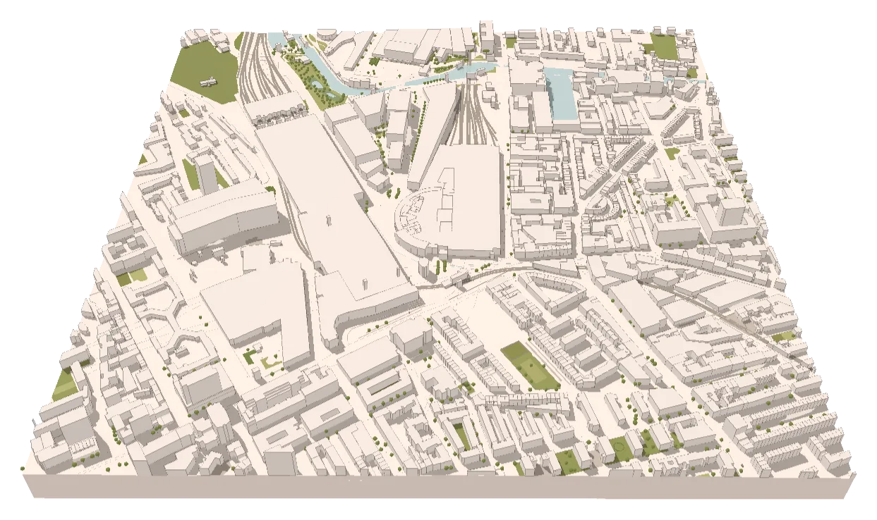
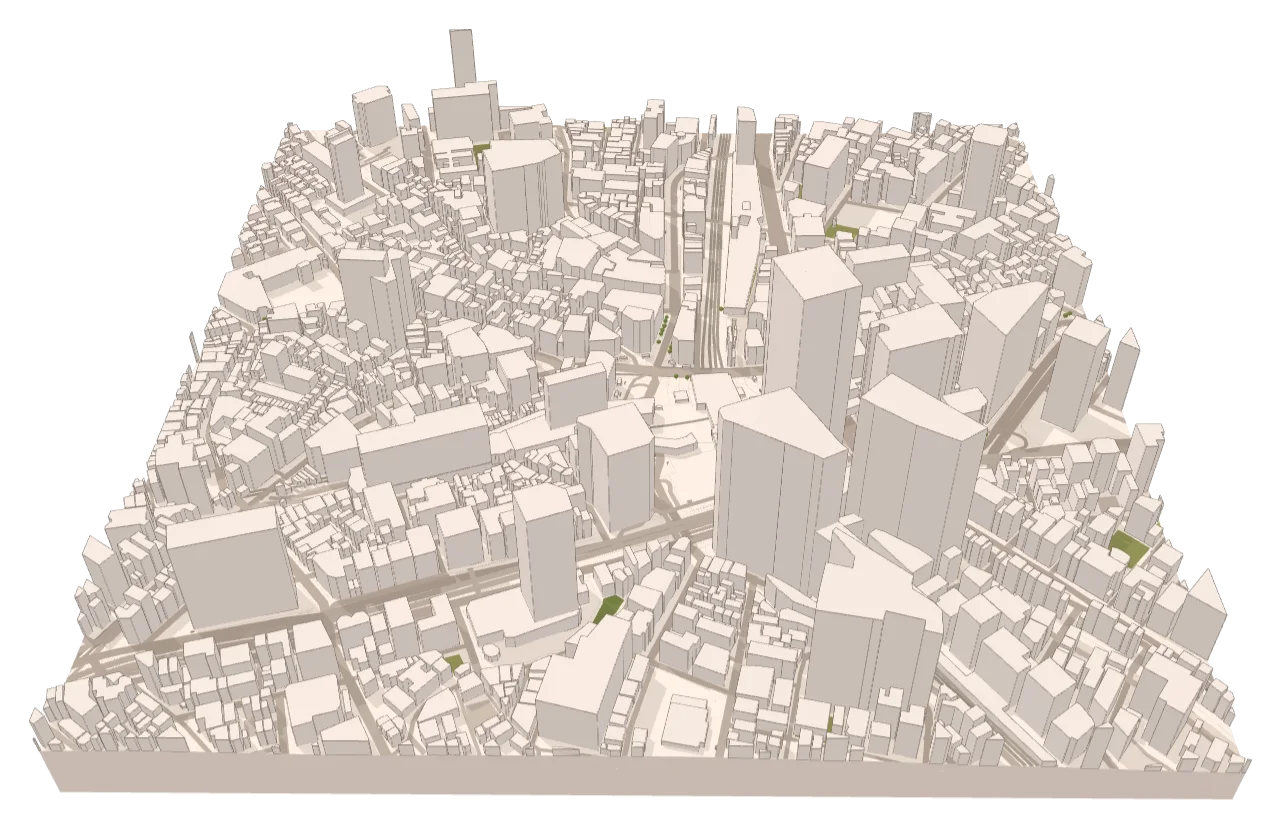
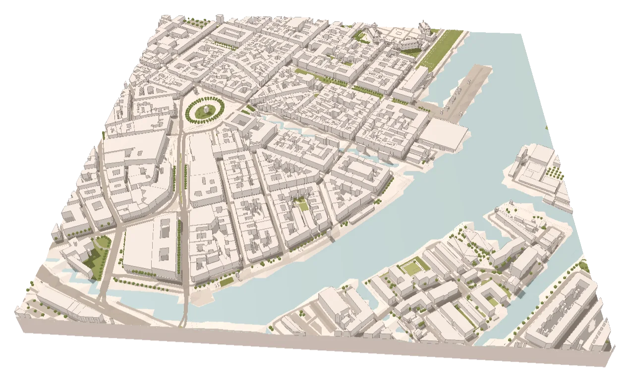
Six cities as 3D context models, one click each. These are examples, not a catalogue: the tool works anywhere the map does. Open one and press Generate, or type your own site.
Plans
Explore and build for free. Pay when the sites get bigger and the exports go to a client.
Free
$0
forever, for learning and personal work
Pro
$19
per month, or $190 a year
Education
Free
with a verified academic email
Limits shown are the live ones for this tool. Free and Education are for learning and personal exploration; client and commercial work needs Pro. See the terms. Want the method and its limits? Read the tutorial.
Export formats
From a layered Rhino model to a plan drawing for Illustrator, the context leaves as a working file in the formats your workflow already uses.
Opens in Rhino, Revit, SketchUp, AutoCAD, Illustrator, Inkscape, QGIS and Blender.
Rhino
Layered model, scaled and geo-referenced, or baked straight in from the panel.
Revit
Native Toposolid, road and water sub-divisions, one Mass per building, through the add-in.
AutoCAD · Illustrator · Inkscape
Plan drawings with true line weights and fills, layered for editing; sheets at scale.
Your site
SketchUp
The 3D model in metres, one coloured group per layer.
Blender · Twinmotion · a 3D printer
The 3D model as a mesh, one object per layer, or one solid to print.
QGIS · ArcGIS · web maps
Map features in WGS84 for GIS.
How it works
In Rhino, Revit, or any format you work in.
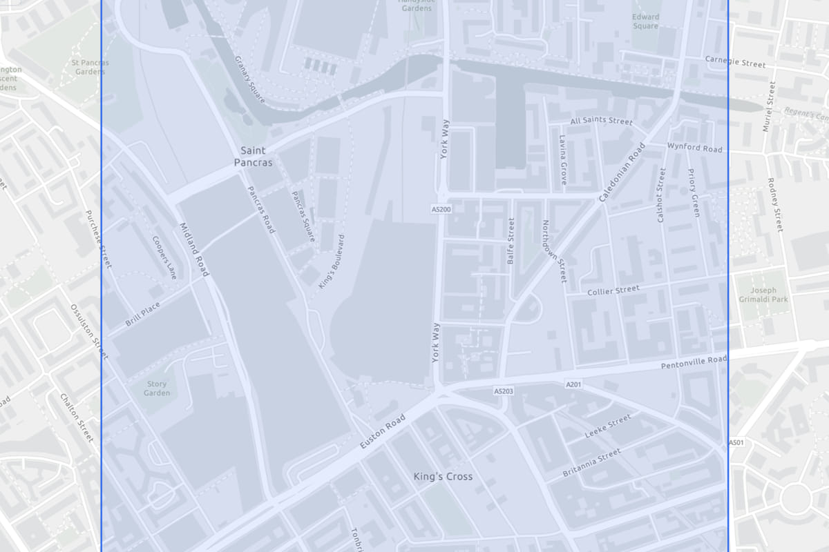
01Type the address
Set the radius and tick the layers. Nothing to prepare, nothing to upload.
02Generate
Buildings with heights, roads, water, green and terrain, built in your browser.
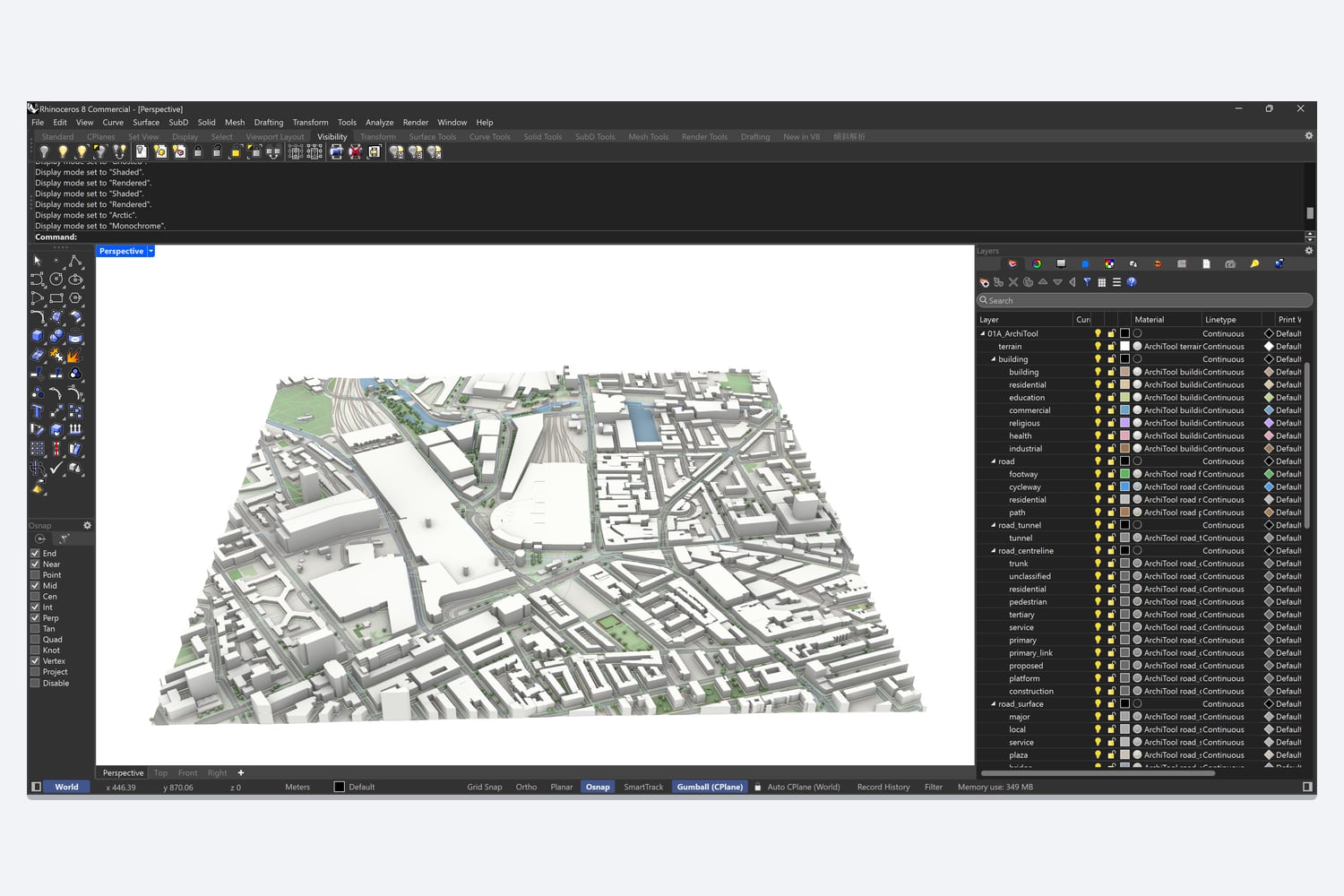
03Open it where you work
Rhino, Revit, AutoCAD, Illustrator, QGIS, Blender. Need another format? Ask from the Report button and we add it.
FAQ
Everything about data, formats and plans. Still curious? The tutorial goes deeper, and the Report button inside the tool reaches us.
Buildings, water and green areas come from Overture Maps, which combines OpenStreetMap with open building footprints where OSM is thin. Roads and trees come from OpenStreetMap. Terrain is open elevation data. Everything is ODbL-licensed and the exported files carry the credit.
Rhino .3dm (layered, with heights on every building), DXF for AutoCAD and Illustrator, GeoJSON for GIS, and GLB for web and game engines. In 2D mode the plan also exports as SVG and PDF in the chosen plan style. From the Rhino panel the context bakes straight into the open document, and the Revit add-in receives the same package.
Yes. Each style writes separate layers for buildings, roads, water, green and labels, with fills and strokes as real vector shapes, so you can restyle or delete anything in Illustrator, Inkscape or AutoCAD.
As accurate as the map at your site. Footprints are usually within a metre or two in well-mapped cities. Heights are recorded for many buildings and estimated from their neighbours where they are not, and the export labels which is which. It is design-stage context, not a measured survey.
Yes. OpenStreetMap and Overture data are open for commercial use under the ODbL, which asks for attribution. The exported files include the credit line; keep it when you pass a file on.
Larger sites and metadata on every exported object (building use, height source, road class). The plans below show the current limits.
No. You bring an address, not a file. The site engine assembles the public map data for the area; the 3D model and the CAD files are built in your browser.
The whole neighbourhood as clean Rhino geometry, from an address.